The Map Widget allows you to add the project’s location on a map.
After an Administrator creates an engagement, Administrators and Team Members can add widgets to display on the engagement page. For more information on widgets in general, please go to the Widgets’ page.
After selecting Map, you can either:
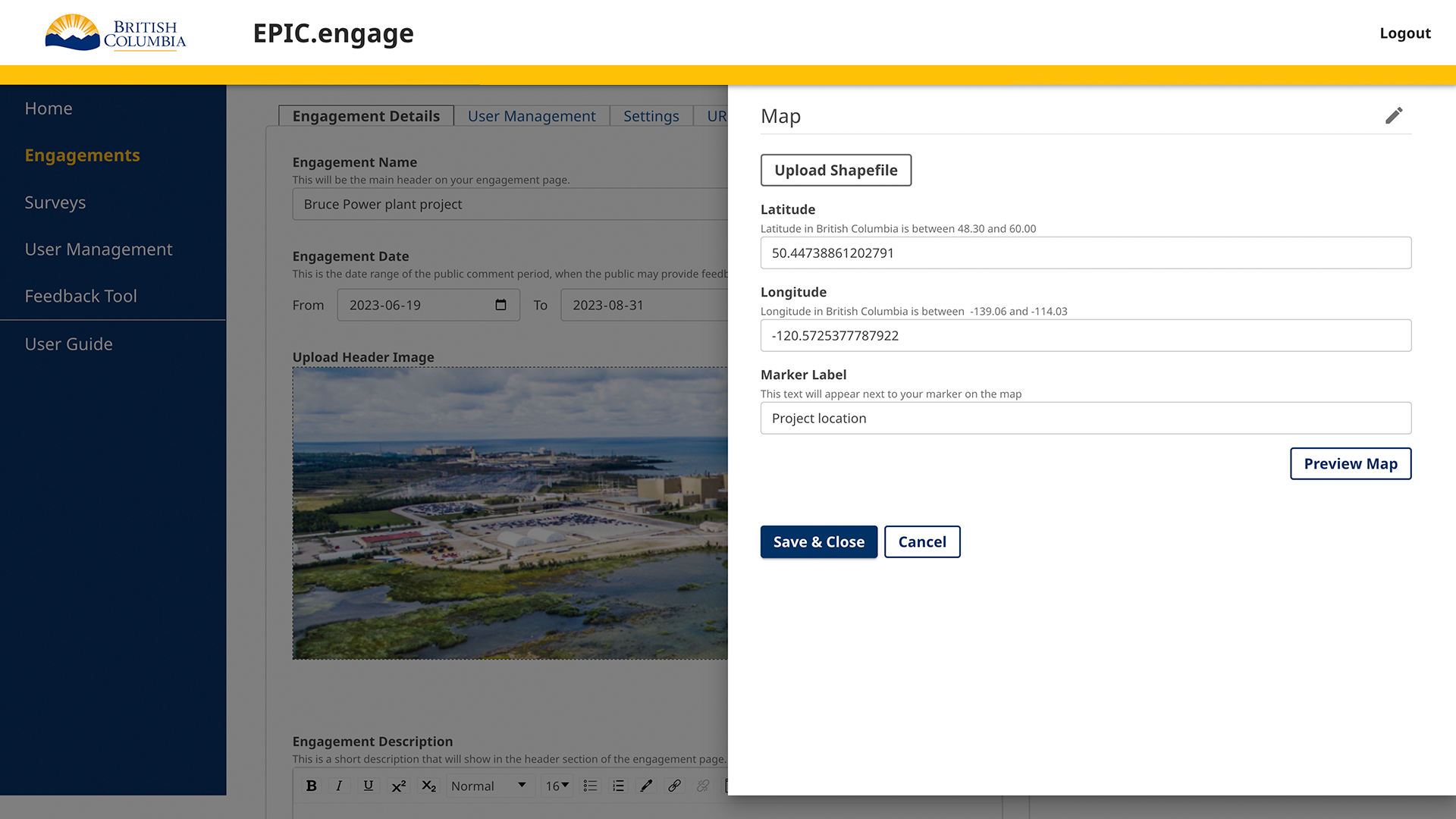
- Upload a Shapefile: A shapefile will show where the project spans geographically. This will store the location, shape, and attributes of the project’s features, and auto-calculate the latitude and longitude.
- Input Lat/Long Coordinates: Inputting the latitude and longitude will drop a pin on the specific geographic point.
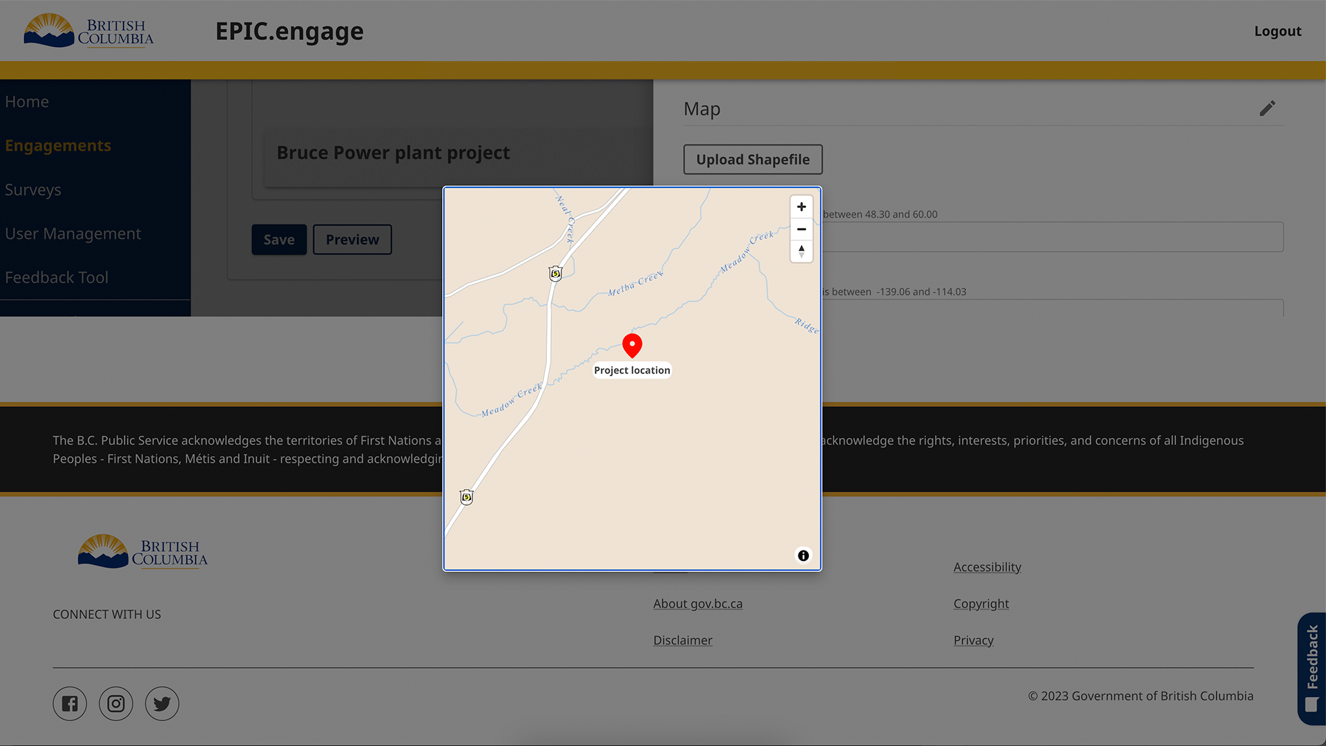
You can preview the map’s display through the Preview Map button on the bottom right.
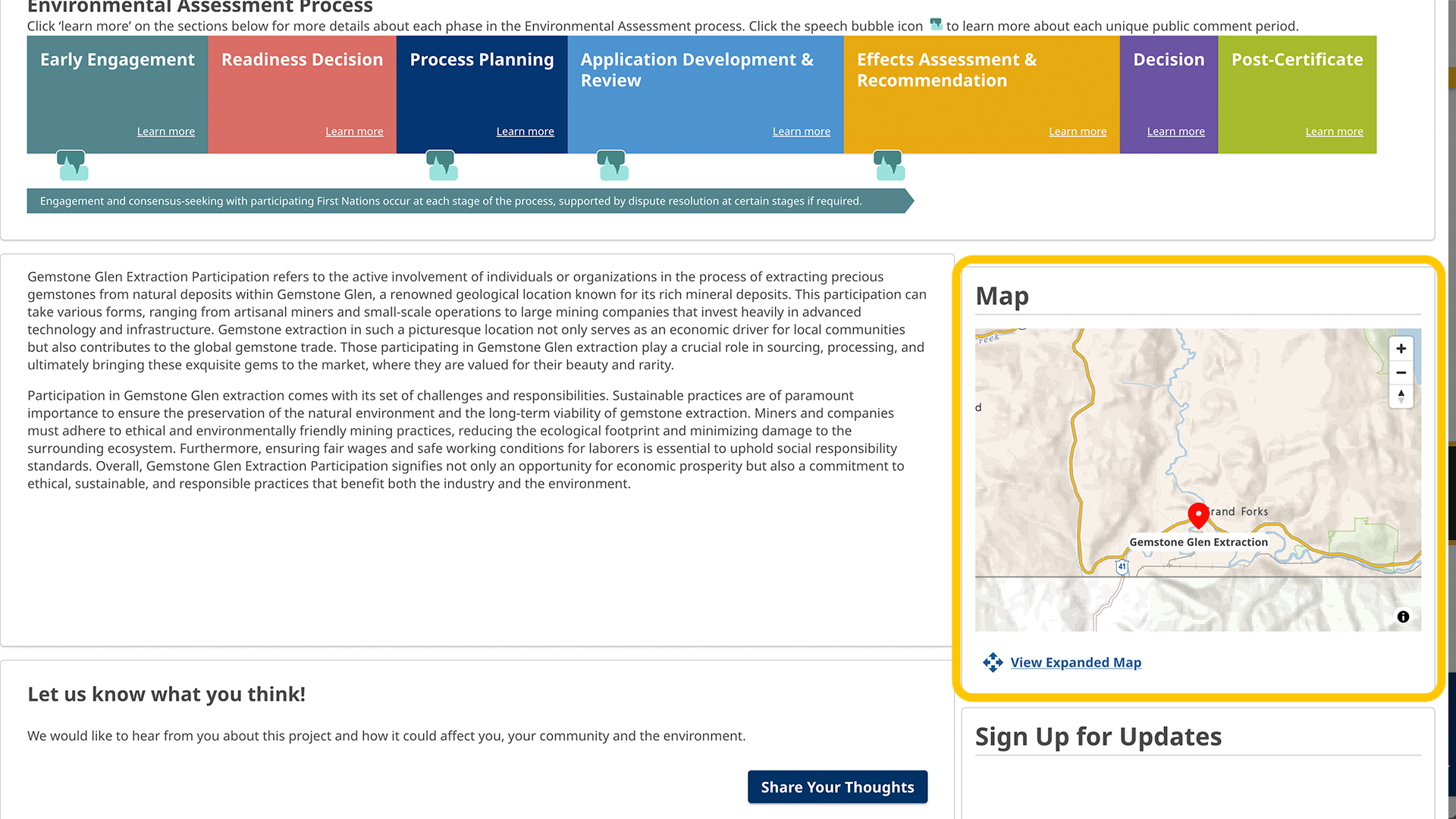
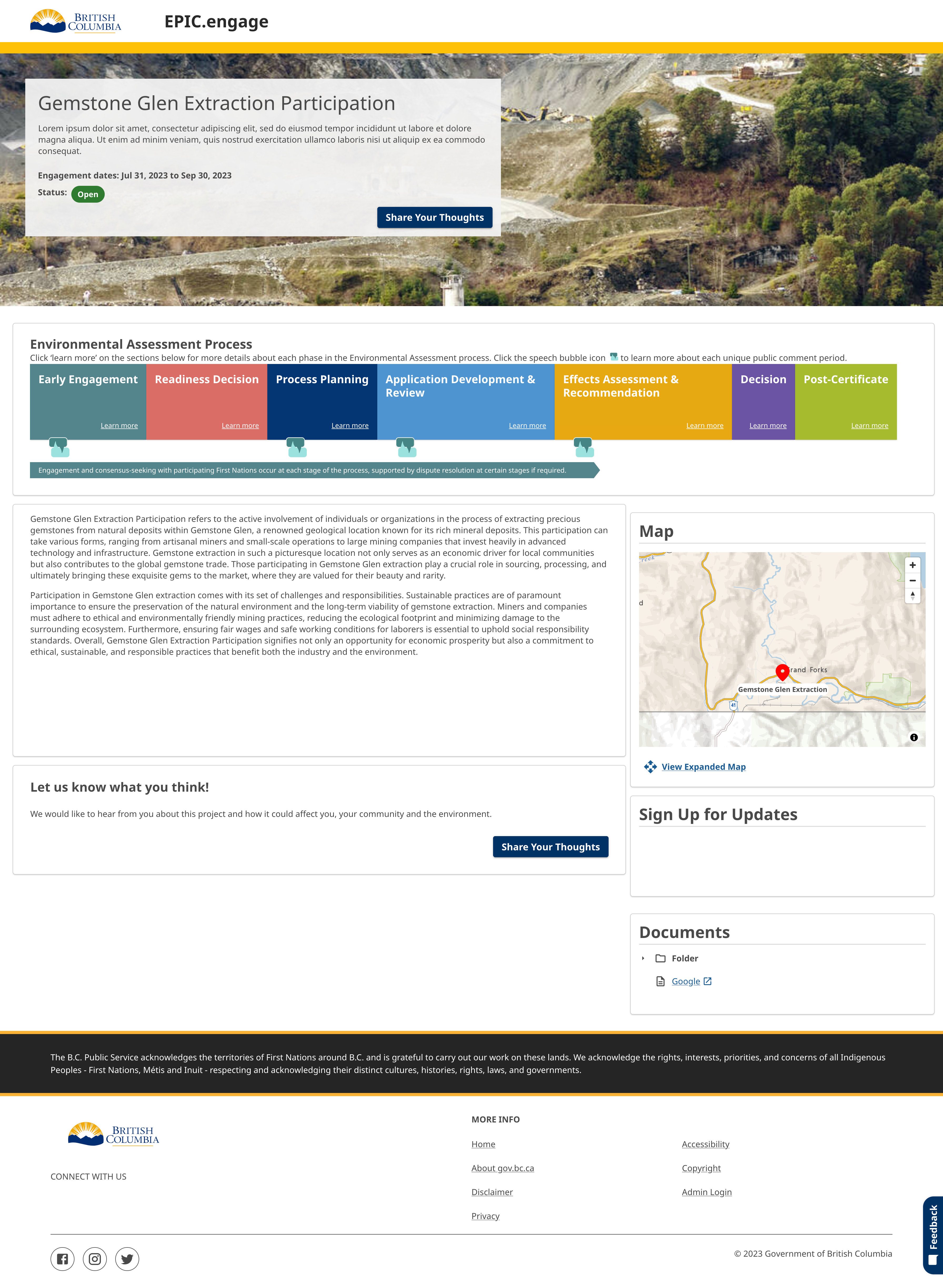
This is an example of the Map Widget on the page as the public will see it.


